Pitcher Mountain
October 26th, 2025
This blog might be a little deceiving: I have been just as active as usual on radio, I just haven’t had a ton of time to blog about it here. I loved writing my last post, but it took a total of about 8 hours over a few days to put it together, and, truth be told, I’d rather be outside doing radio than inside writing about doing radio if the weather is nice.
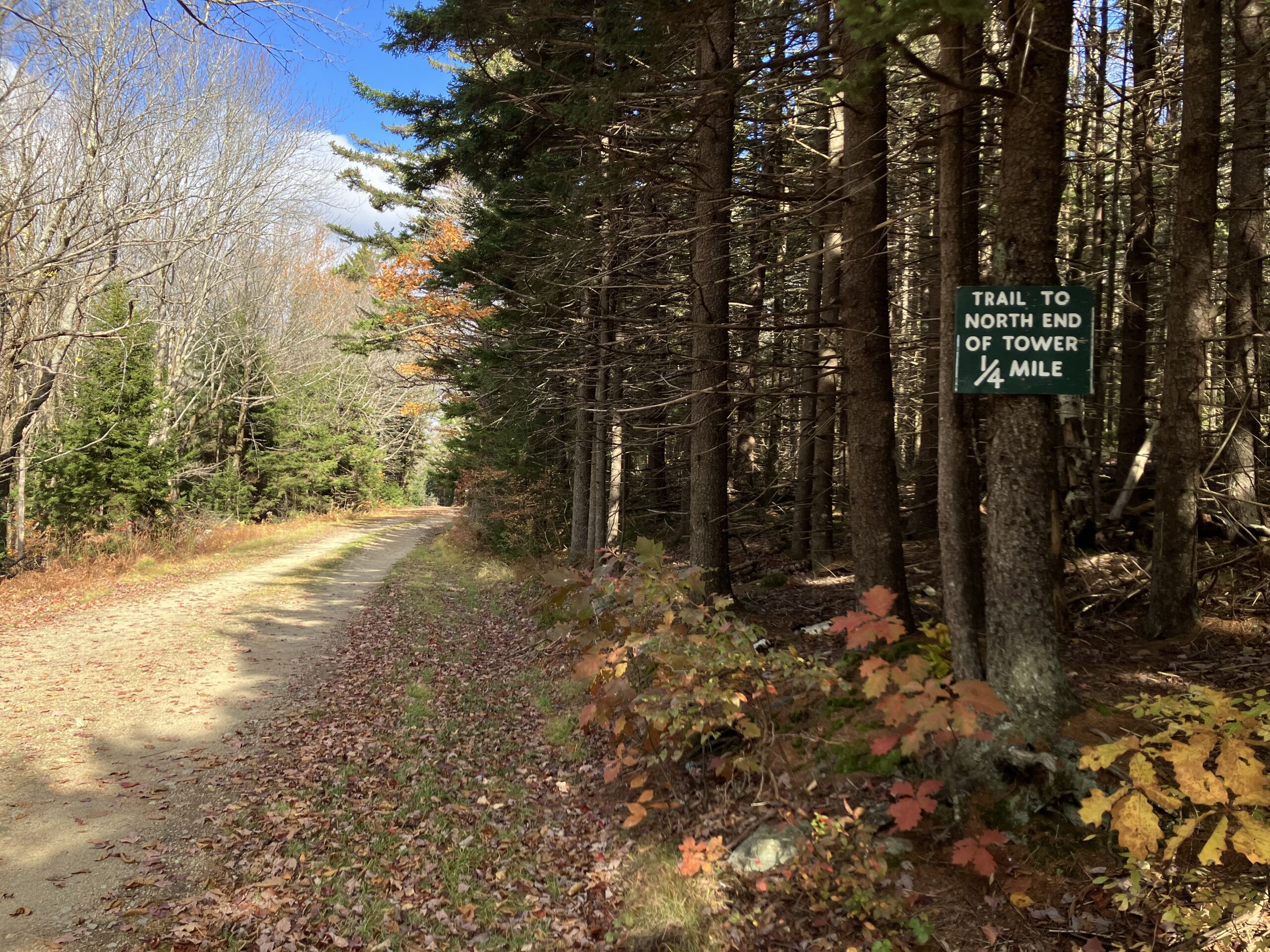
Recently, however, I spent a weekend doing some small day trips within a 1-1.5 hour drive from my house for want of some grander scenery and being able to see far (I like being able to see far), and one of those trips was to one of my favorite places: Pitcher Mountain (W1/HA-152) in Stoddard, NH using the excuse of a Summits On The Air activation to get me out of the house.
It was the same weekend as the dreaded, bothersome, CQ World Wide DX Contest, so I wasn’t exactly thrilled to be on the radio and having to deal with contesters, with conditions potentially not being amenable the WARC bands being open. As a new ham I have developed an intensely strong distaste for contests as a direct result of the repeatedly entitled and rude behavior I’ve experienced when I’ve had the audacity to find and use a free frequency on a contest / QSO party weekend (i.e., almost every weekend) for non-contest purposes. But I digress.
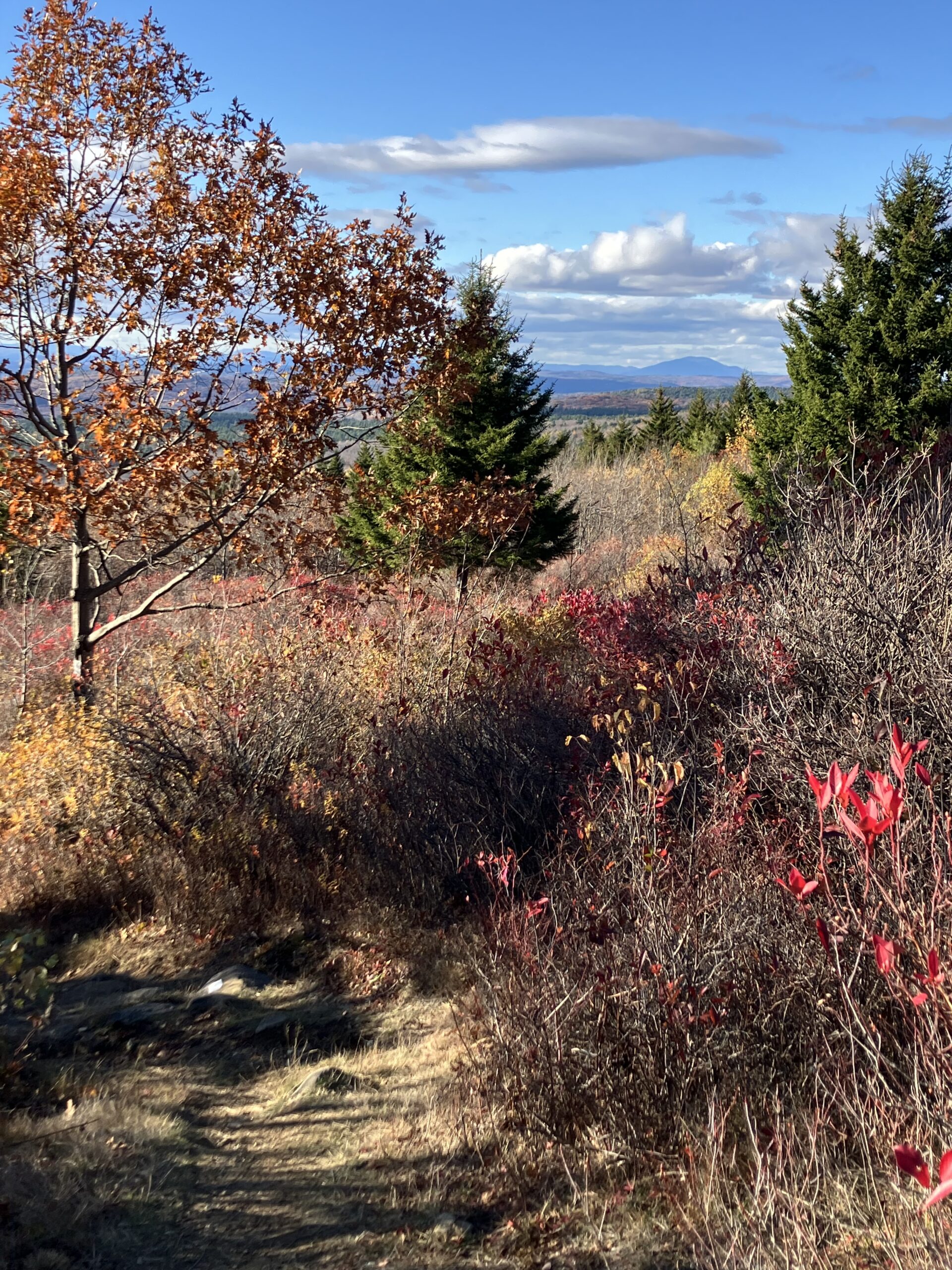
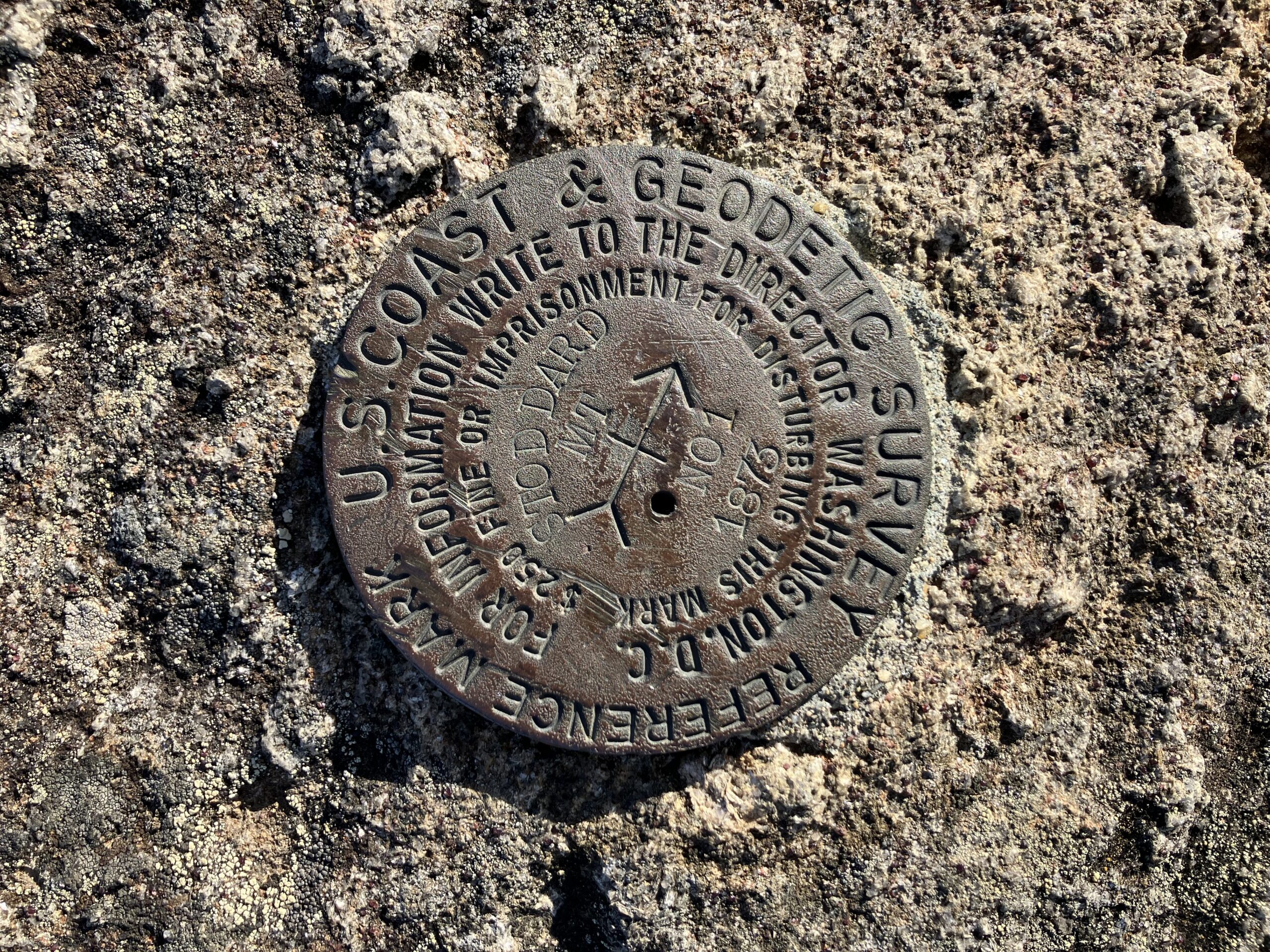
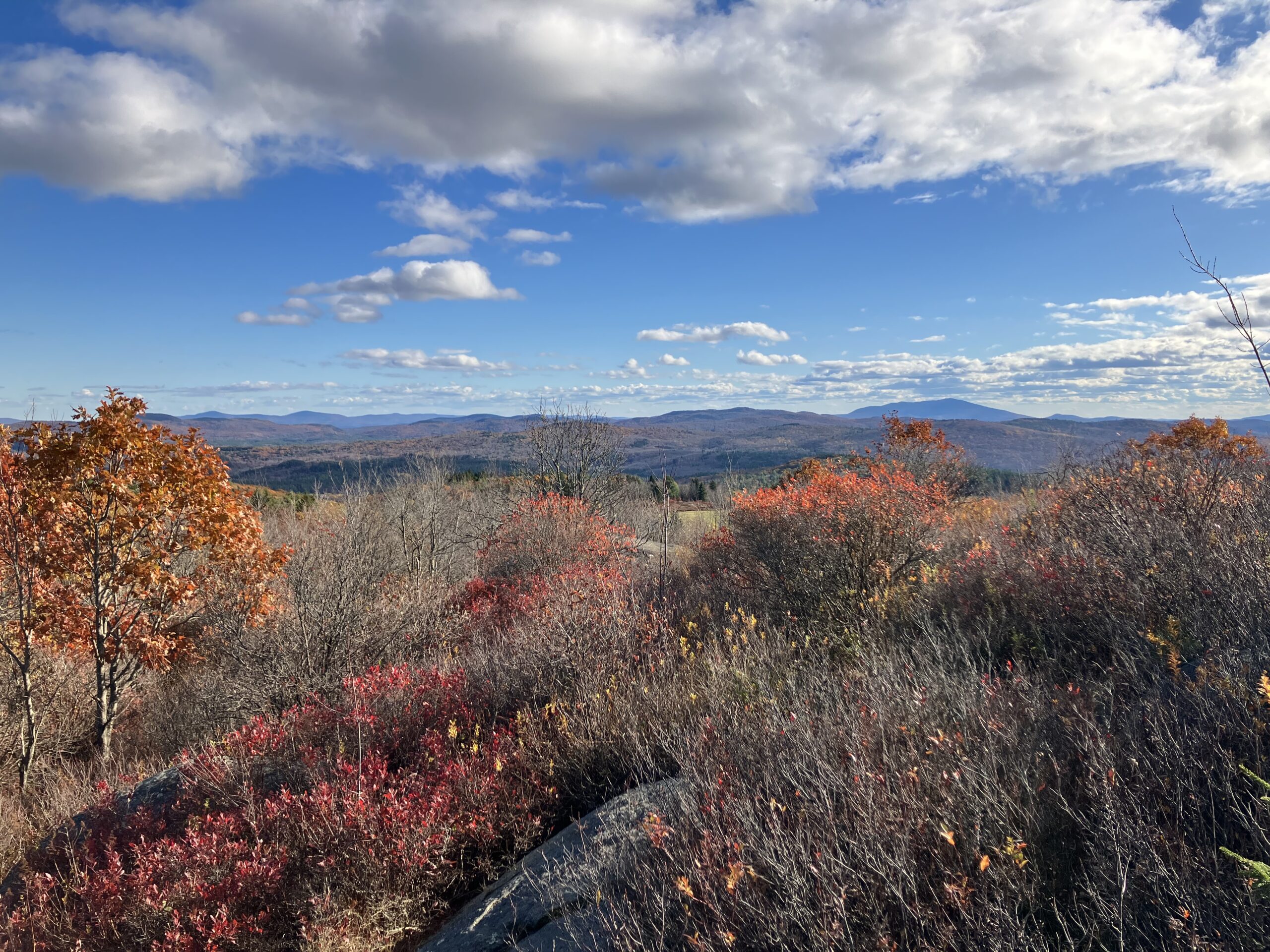
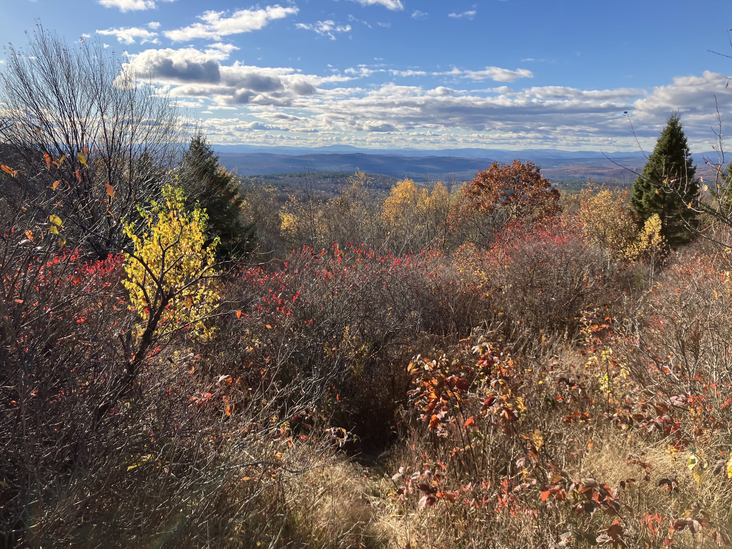
Pitcher Mountain is one of the lowest effort / highest payoff views I’ve found in central New England, which is why it’s a favorite spot. A half mile (or less) easy and very pleasant hike up to the summit nets a 360º view, with many of south-central New England’s prominent mountains looming large: Monadnock, Stratton, Equinox, Ascutney, Greylock, Killington, Kearsarge, to name a view. Mount Lafayette in the Whites, ~80 miles distant, can be seen to the north in clear weather. The entirity of the southern Green Mountains in Vermont are on display, with the plateau / rolling lowlands of southern New Hampshire extending almost all the way to the ocean with mounts Belknap and Pawtuckaway in the haze.
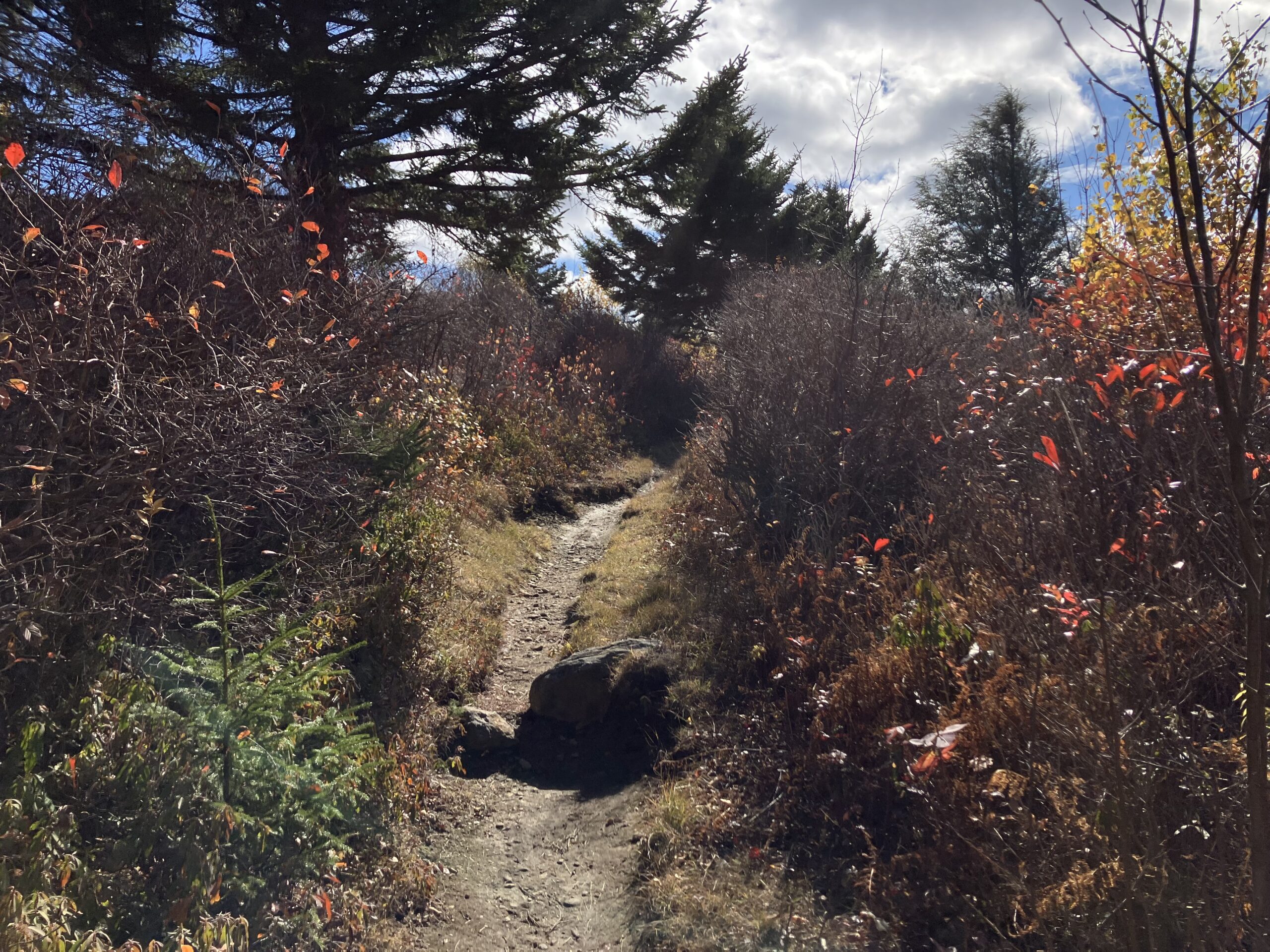
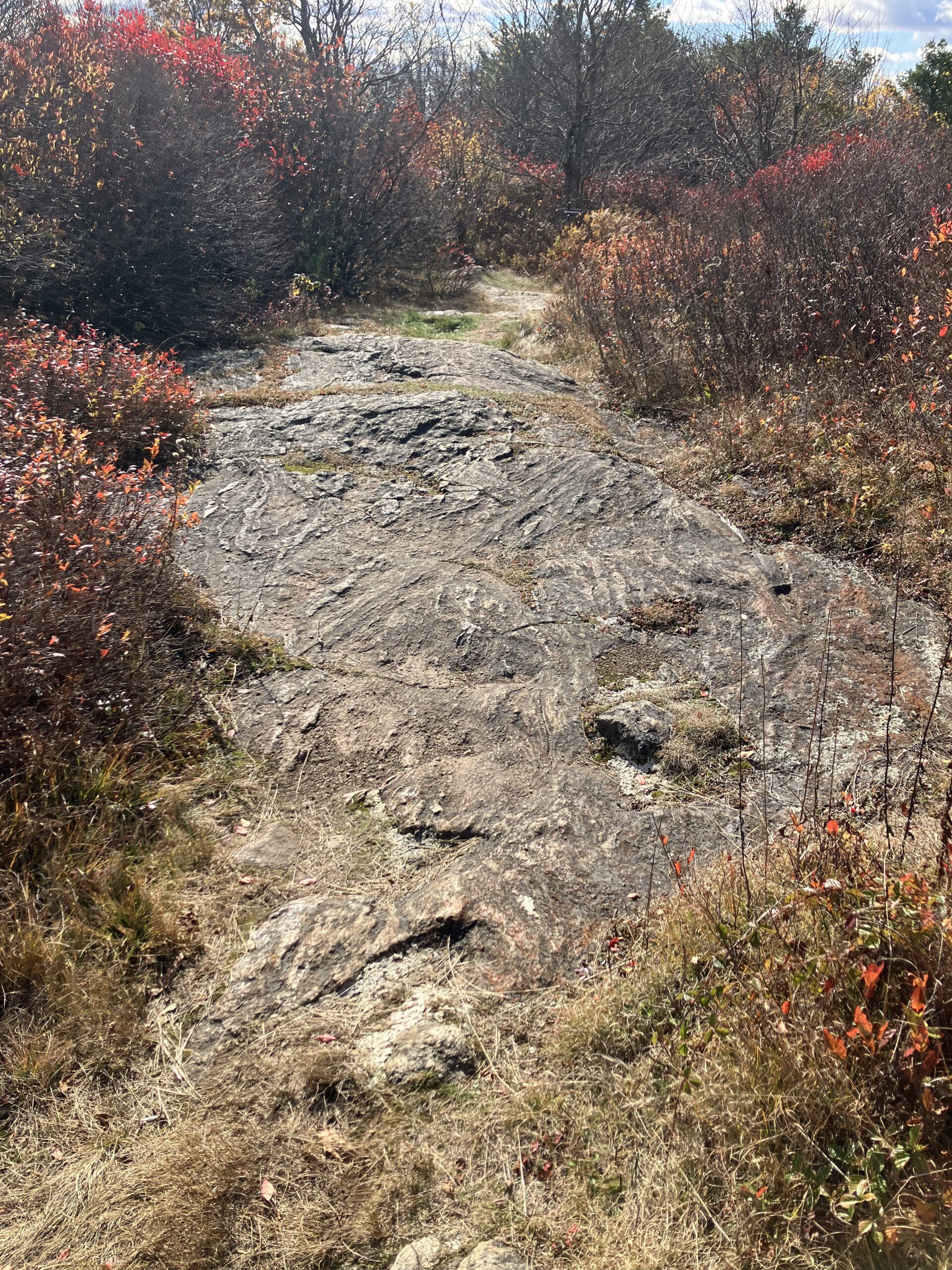
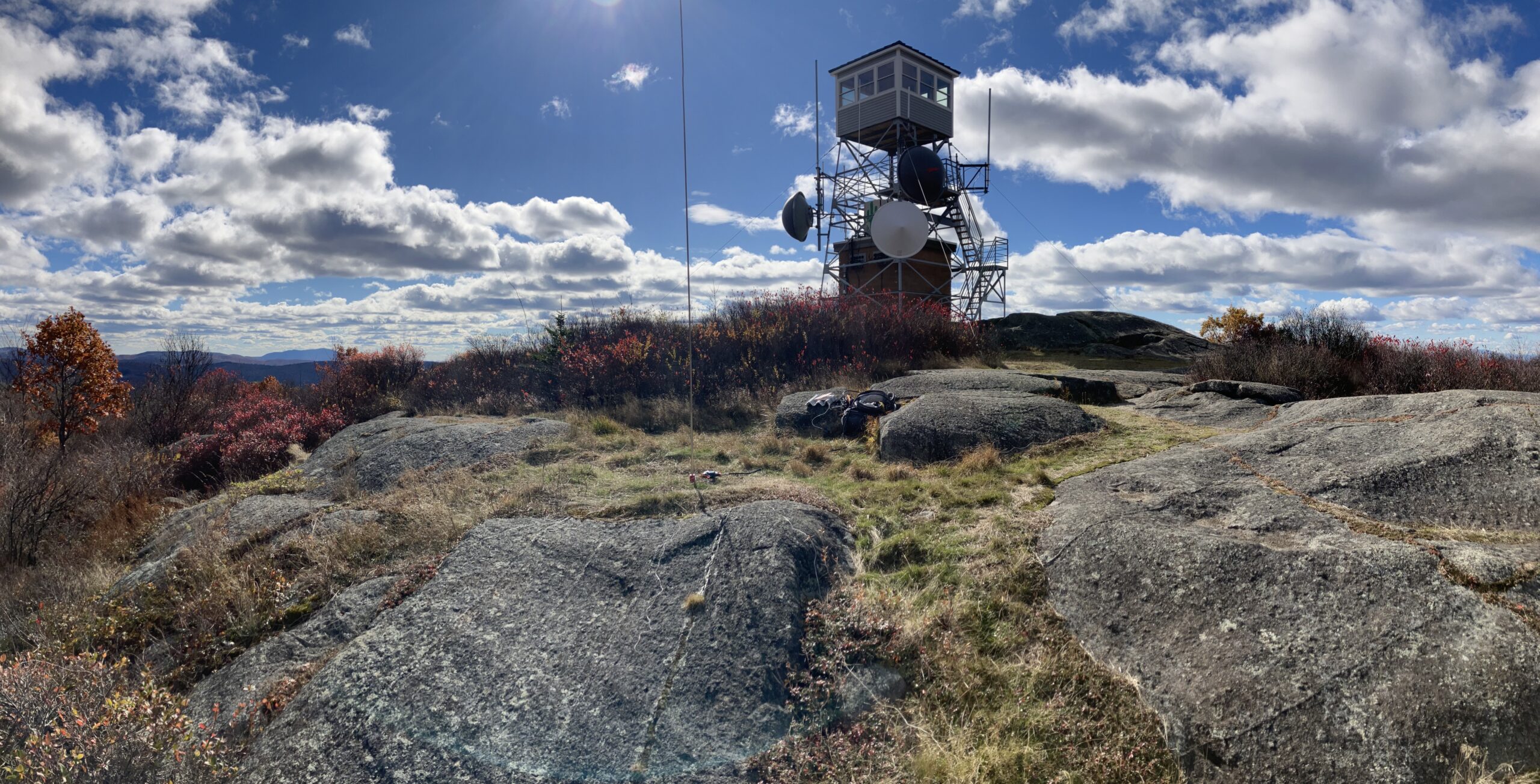
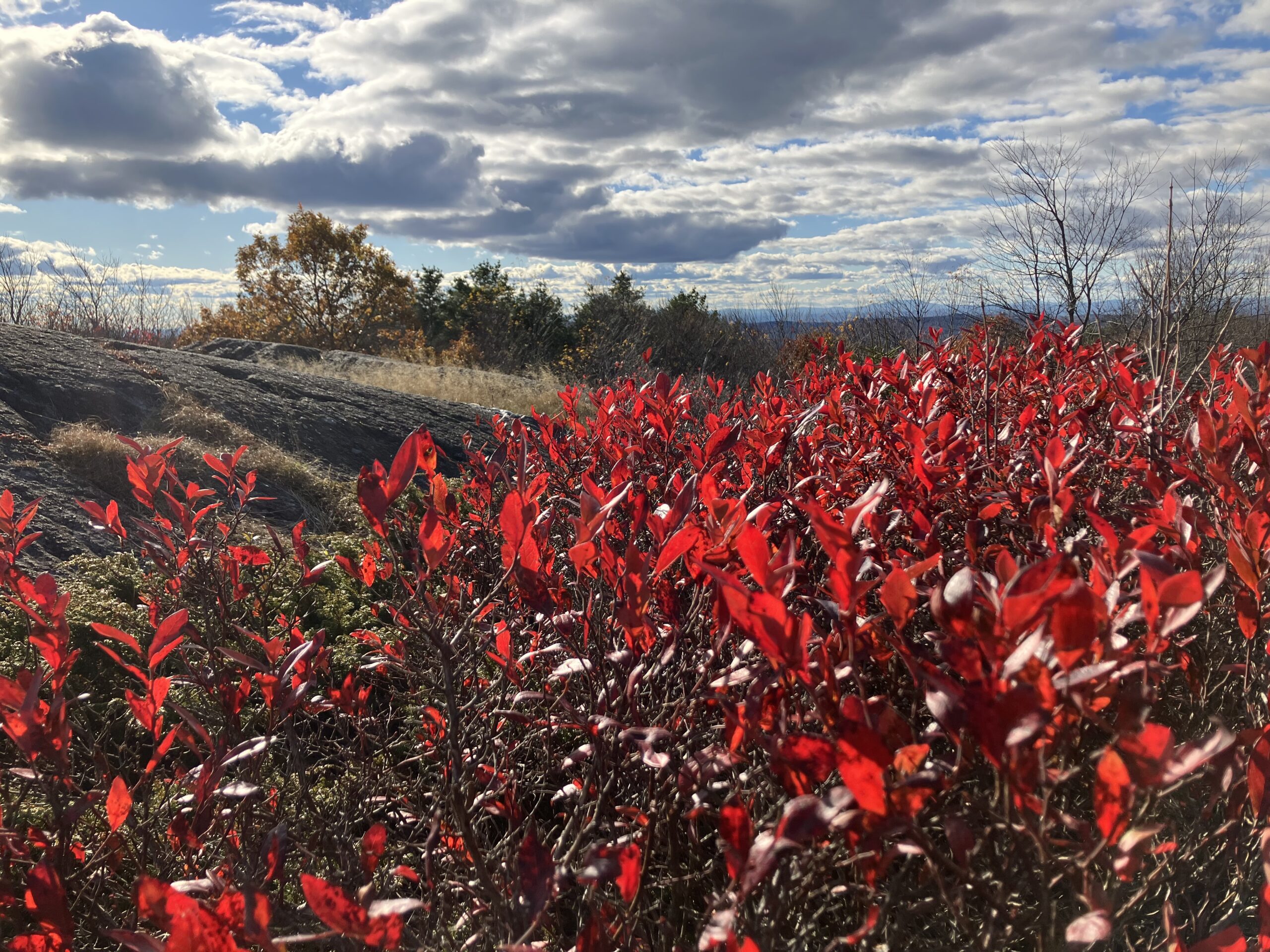
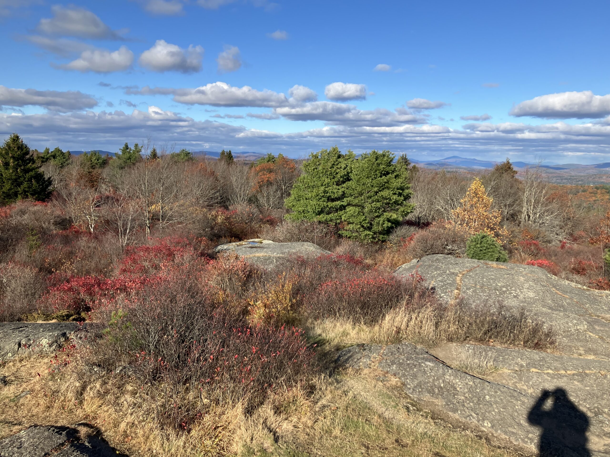
The top is an occasionally maintained “bald” / low and high-bush blueberry barren, to a degree, and blueberry bushes there are aplenty along with other low brush. There’s just something about the interplay of autumn light, the low scrub, and the bedrock “pavement” outcrops and the tiny micro-ponds and puddles that form in their declivities, creating a micro-terrain that still takes my breath away every time, and I presume always will. I can’t get enough of them. Glaciated bedrock uplands: I love them, and maybe it’s why I also love playing Skyrim.
Most folks will note a different “vibe” or atmosphere, and feeling, to the Land east and west of the Connecticut river. As I’ve mentioned before, the mountains of southern Vermont and the Western Massachusetts hilltowns are more a deeply eroded peneplain: the river valleys being steep and deep and cutting off a lot of views of the sky, with a lack of real prominent summits as opposed to hills on a high plateau looming over the valley bottoms. The bedrock, as a whole, makes for less acidic soil than east of the Connecticut river: forest understory assemblages are different. For some reason, there are less views to the north (seriously trail planners, what is up with that? Looking at you, Mt. Greylock). East of the river can reach similar elevations, but the landscape is more open and rolling, the monadnocks, literally, more prominent, looming over the plain, visible from 100 miles away. You don’t get quite the same type of mountain-top meadows, bedrock outcrops, etc. west of the Connecticut River– they are less rocky, less rugged. There are more, many, many, more, lakes east of the River. I want to say a lot of this could be due to geology, and it is, but it’s much, much more complicated and nuanced than the tired “Vermont is schist, New Hampshire is granite” tale because that really isn’t all that true: The same rocks exist in both states, and both have been subject to the same general geologic history. A full treatment of that is way beyond my goals for this post other than to say, they’re different, and it’s complicated, and I don’t think anyone has studied that recently outside of the White Mountains themselves.
It’s also the culture that’s quite different: the tourist industry that has defined places like Vermont for the past 100 years is just sort of… absent. Most of New Hampshire, and certainly the southern part of the state, and central Massachusetts are not quite the destination for yuppies looking for weekend homes that Vermont, the western Massachusetts hilltowns, and the Berkshires (the in fairness, NH ranks just below Vermont for this). As a result, the vibe is more relaxed: areas east of the Connecticut River don’t seem to spend so much energy on marketing and tourism. Most of the folks on the roads and trails work and live nearby, like me. The political differences are, on the surface, quite marked, of course, with New Hampshire being known for its fierce libertarianism and Vermont cultivating its brand identity of being the most liberal state in the union (in reality, it’s got a long way to go [1], [2], [3]). Both states’ demographic disitrubtion’ actions, local policy, land use and ownership patterns, etc., bely the fact that in spite of perceived identity the lived politics of each state’s citizens is much more similar than either wants to admit. Independent of that, I’ve always loved the landscape east of the Connecticut River Valley more: it’s a place I feel much, much more at home, and more physically relaxed, than other parts of New England, no matter how beautiful. The views are more expansive, easier to access. It feels, quite simply and imperatively, “North” in a way that most of Vermont, the western hills, the Berkshires, do not. However, I think I could feel pretty relaxed in Northern Vermont on the shores of Lake Champlain, but who can afford to live there anymore?


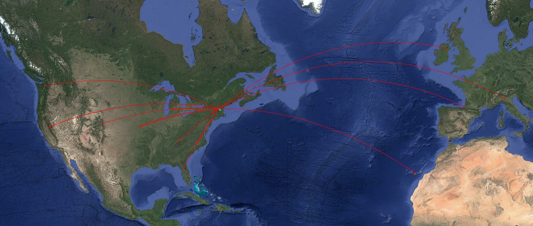
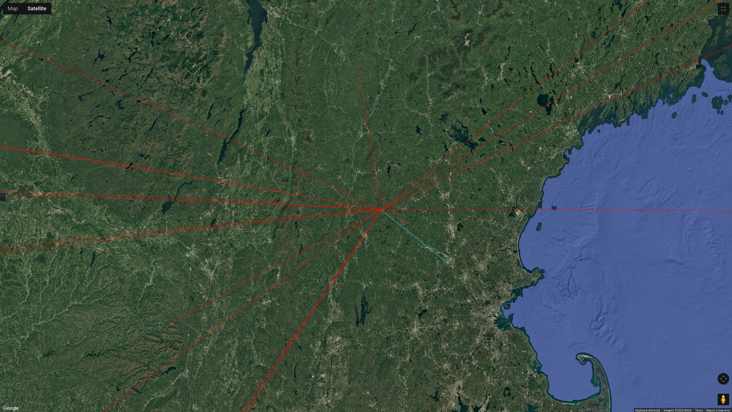
Conditions on the WARC bands were OK. As usual, I was using my Xiegu G90 at 20W and a cheap extendable vertical whip with increasingly tattered ground radials. I started off on 12m, which is a favorite band if mine if other people are bothering to use it too. My first contact was with western Washington State: always a good omen to have a coast-to-coast contact right off the bat. The second contact on 12m was two towns away, which is also the norm for me on HF while doing SOTA, it seems. I then snagged a summit-to-summit with the Colorado Front Range, with an activator running QRP. A smattering of contacts around the central and southern U.S., and then a lovely chat with a station in Northern Ireland. I had feared I had started too late to reach European stations, and especially Northern Europe, which is a favorite of mine to do while activating SOTA on account that the Caledonides are, geologically, the continuation of the northern Appalachians, and vice-versa, and our landscapes are quite similar. The activation was then christened by Christian, F4WBN. I also had a very sweet contact with a station whose now SK mentor had a callsign that was 1 letter off from mine. The band was starting to fade out, so I switched to 17m and got California, Nevada, other stations in the U.S. South in addition to Italy and the Canary Islands off the coast of Morocco, which geologically, is the other side of the Appalachians (specifically, Boston and the Avalon Peninsula of Newfoundland) that got split from us during the rifting of Pangea 180-200 million years ago, and are also a southern continuation of the Caledonides.
17m started to fade out as well, so I chased a fellow W1/W2 activator on 40m on a summit in the Catskills, who then piggybacked me off of his activation so I could snag a few local Northeast contacts. It was very fun! Two SOTA activators on different summits sharing the same frequency, so chasers got a two-for-one! I like the idea of multi-summit coordinated activations on the same frequency, and might try to arrange something like that with other folks in New England in the future.
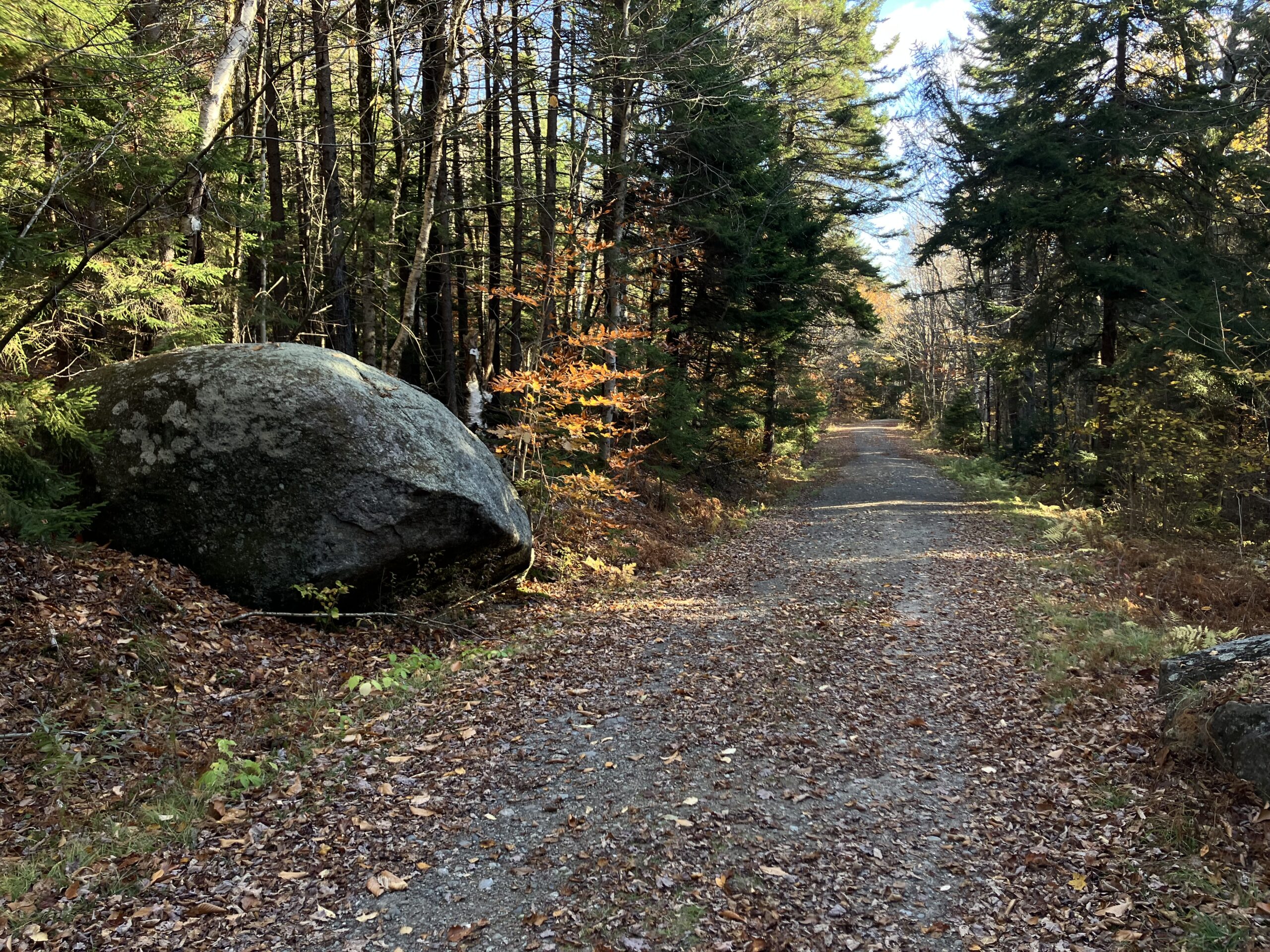
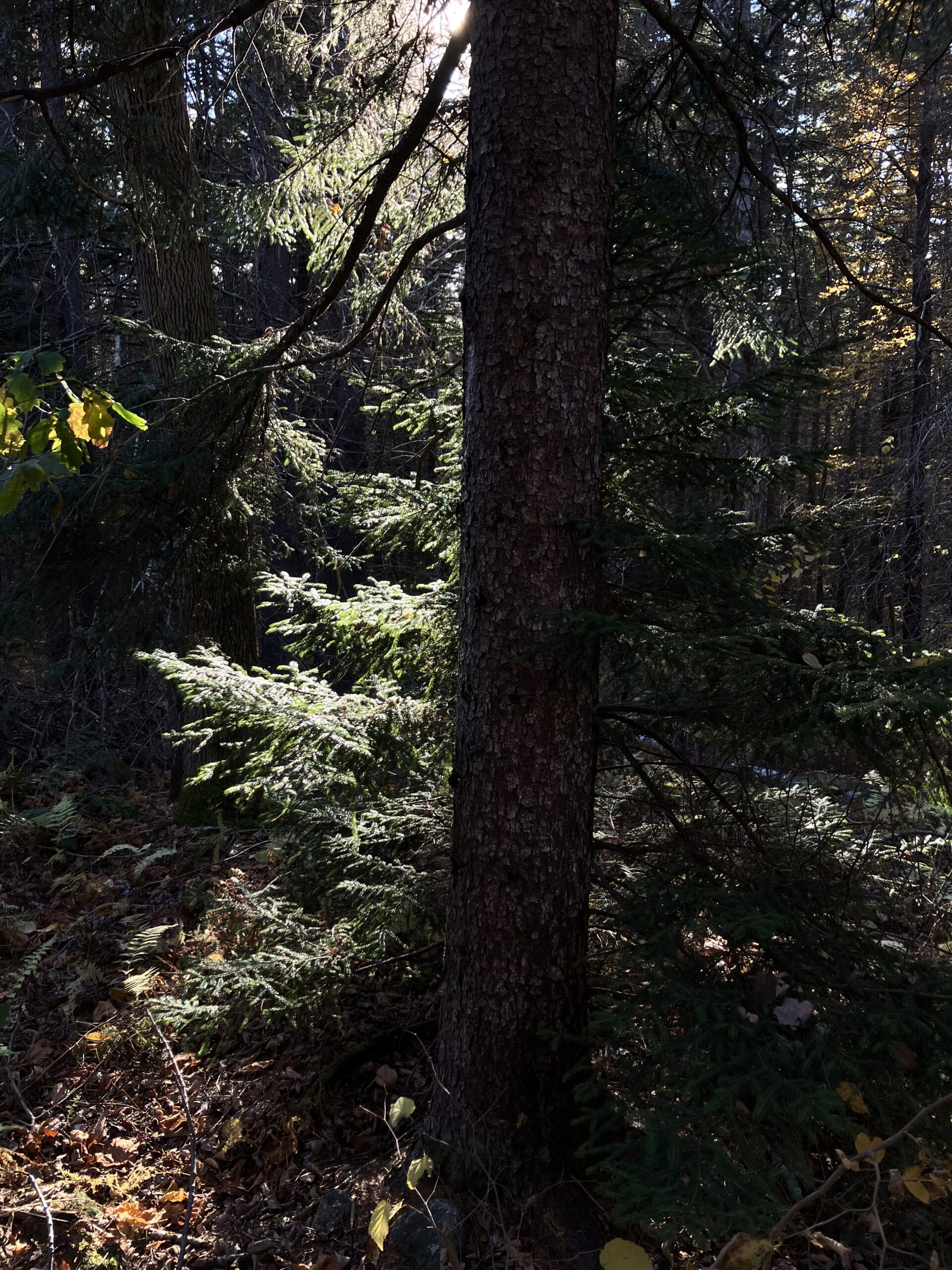
It’s hard to overstate just how much I love this spot. This post is more an excuse to share photos of the views here. Doing radio was just an excuse for a trip here. I will let the photos do the talking.